It was just as gloomy as I departed Calcutta as when I arrived!
And you can see here the top of the inversion that keeps it gloomy.
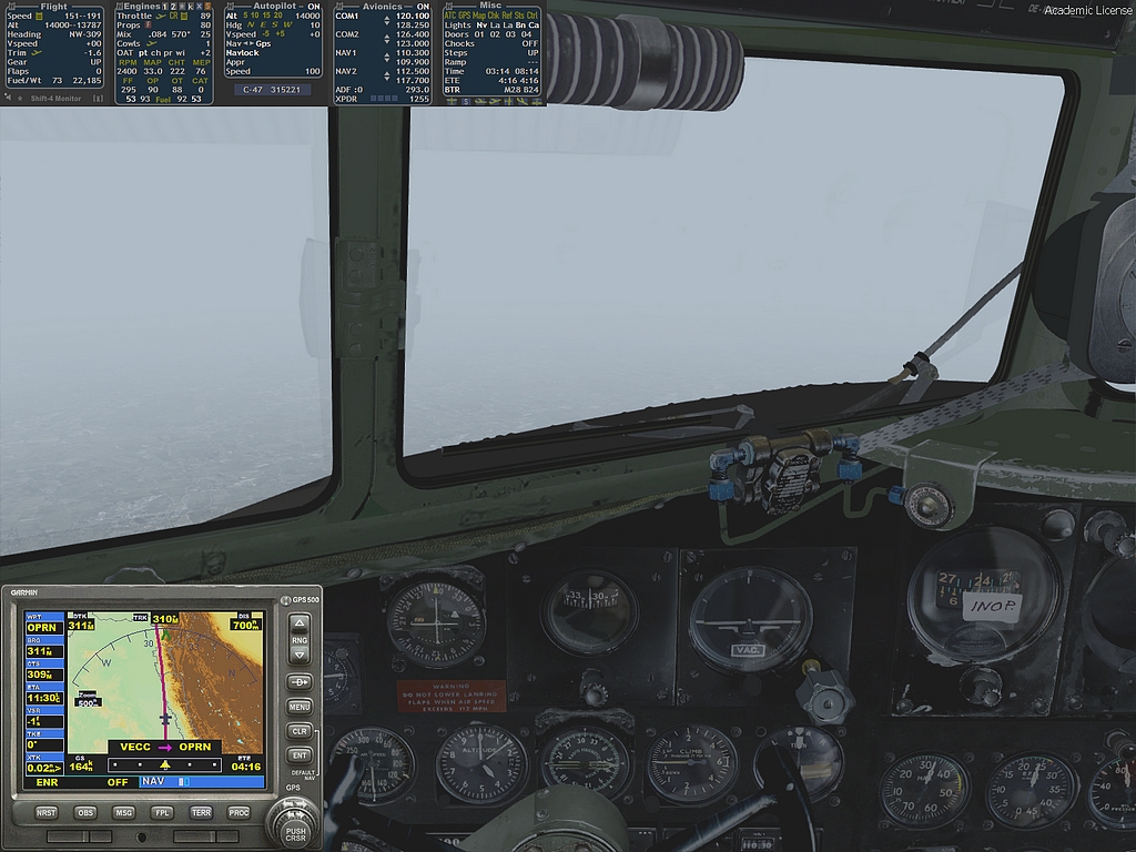
And also in this shot...It will be as bad at my destination as they have 2.5 nms vis at the moment. I hope the ILS is working!
Breaking up a bit now.
And we have less than 1000nms to go as I settle into the "Fast Cruise"at 14000 feet.
There is an airstrip passing underneath but I have no idea what it is called.
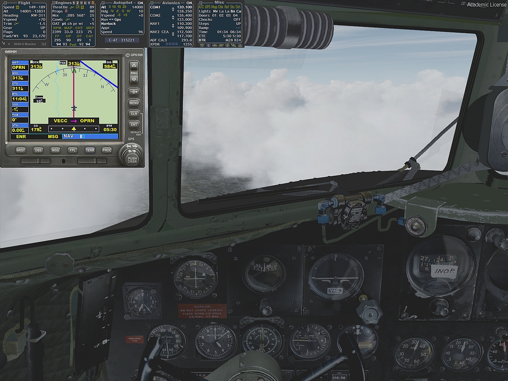
Here is the GPS map showing the Himalayas but nothing can be seen of them outside...
...as you can see here.
Here is quite a big city and it might be Patna.
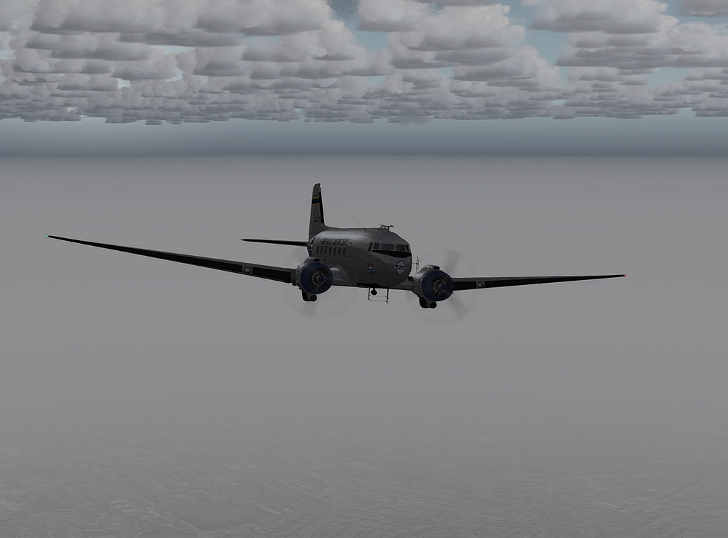
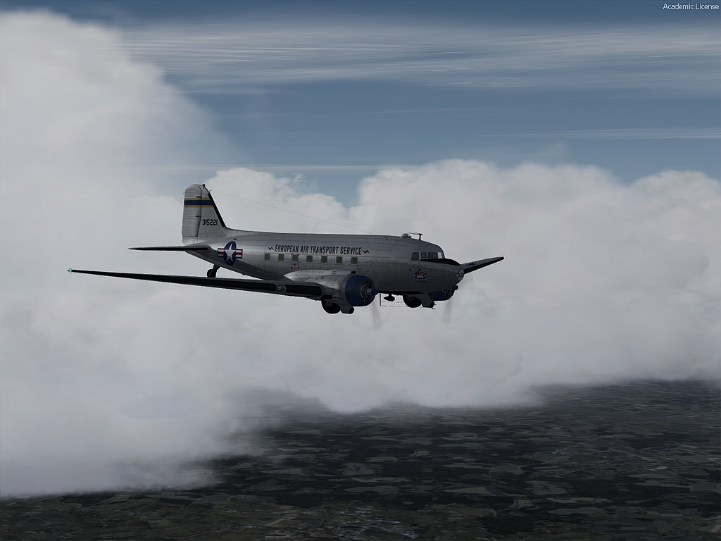
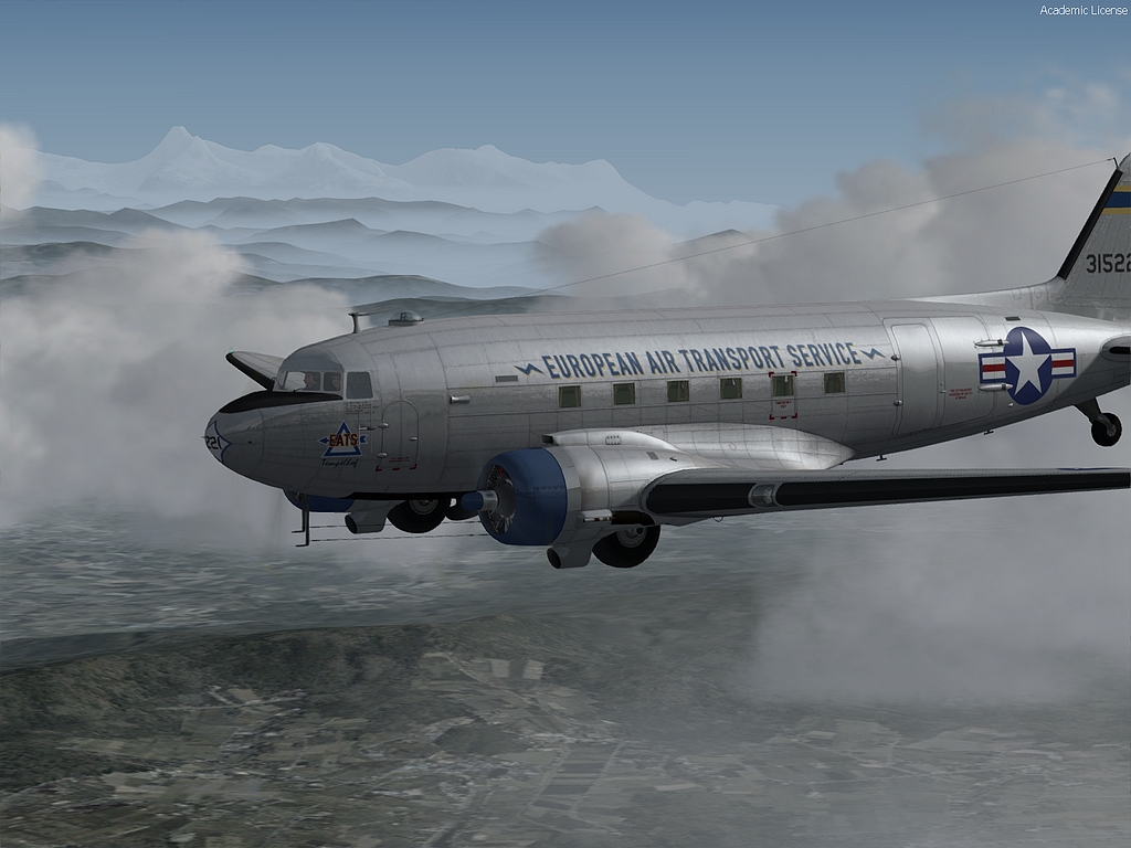
Here is a good shot of the gloom!!
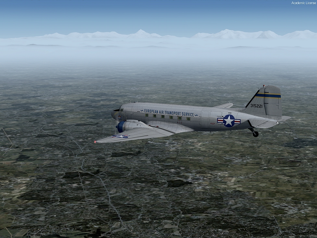
With 700 nms to go, you can see that our track ahead eases closer to the mountains and I'm hoping we get a glimpse of them.
Oh yes, just a few miles on and they are visible.
I must snatch...
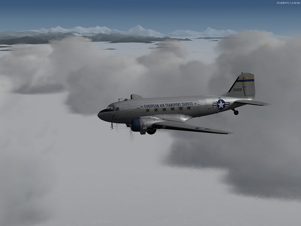
...a few shots...
...while the going...
...is good!
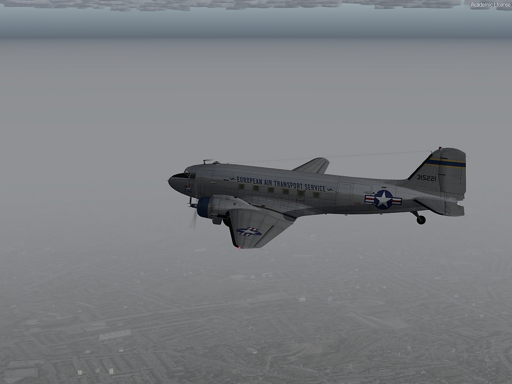
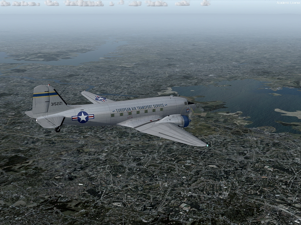
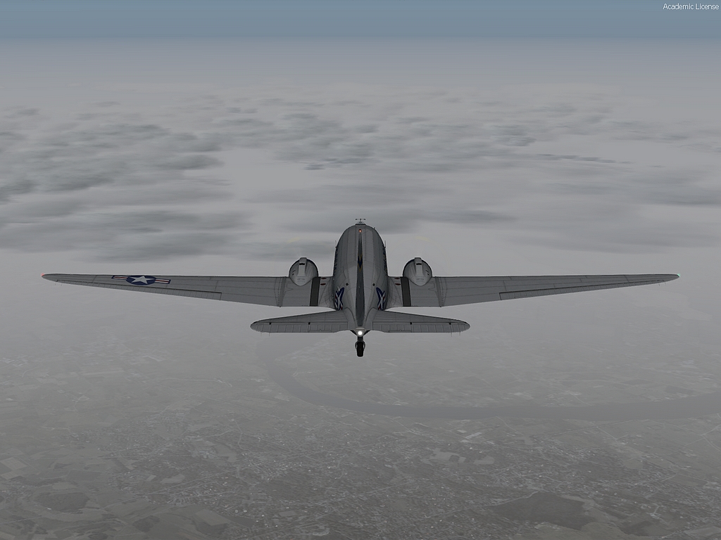
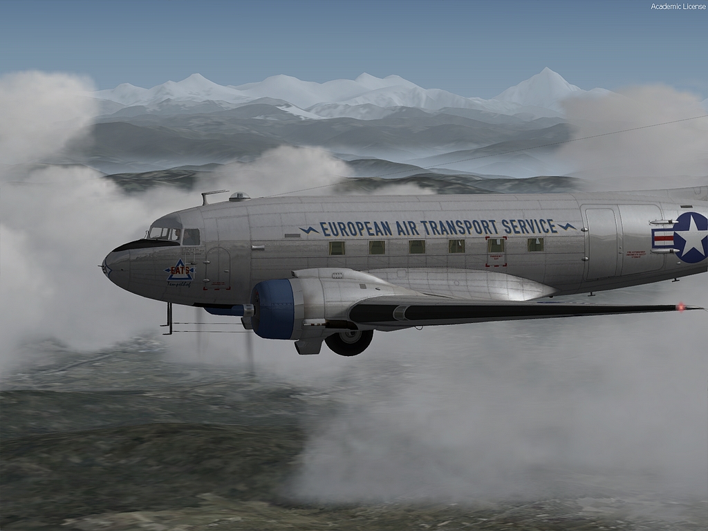
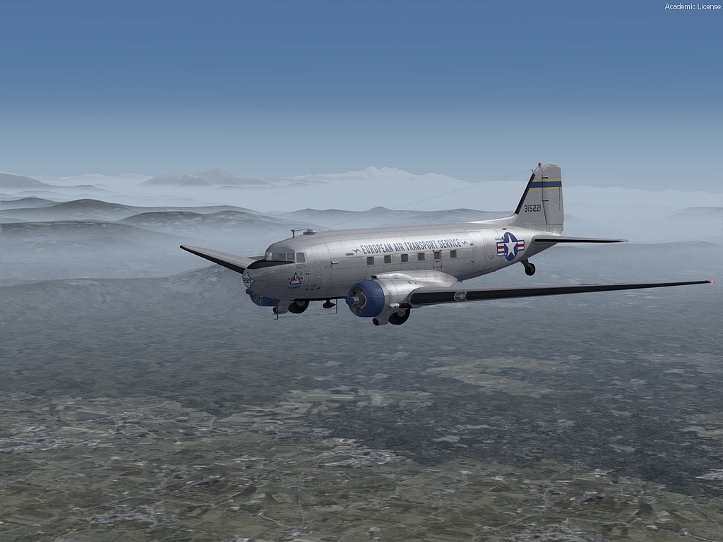
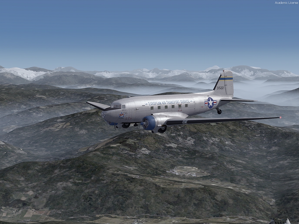
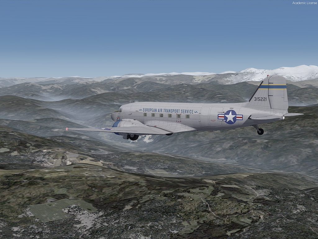
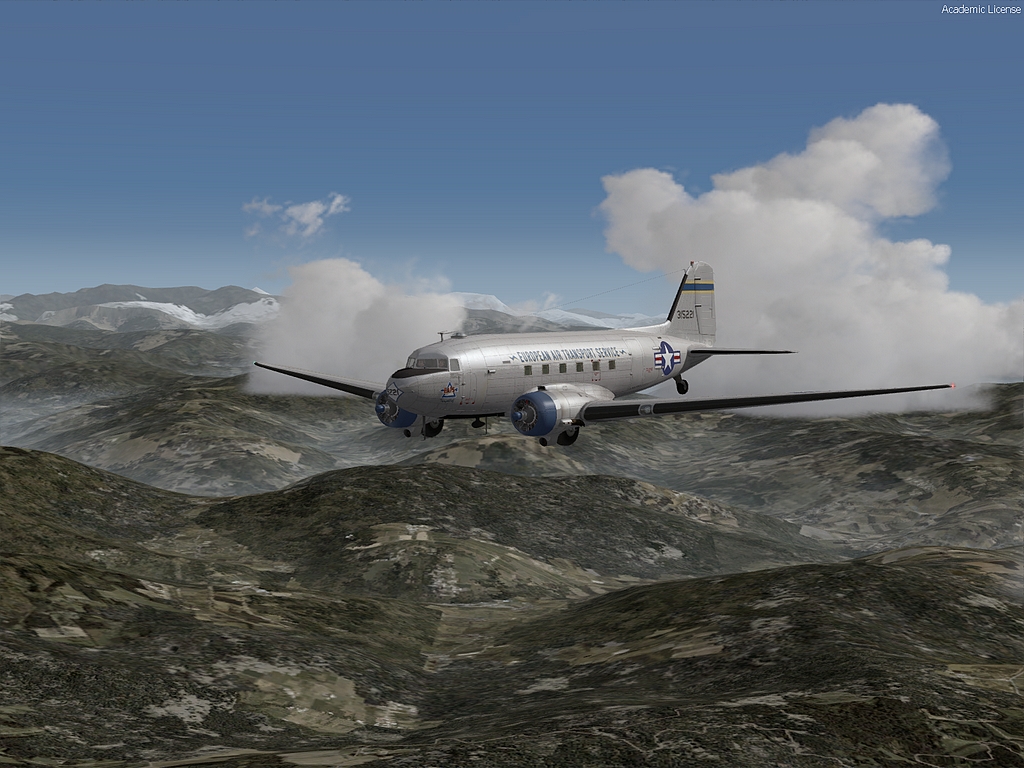
Ant this one is pretty nice.
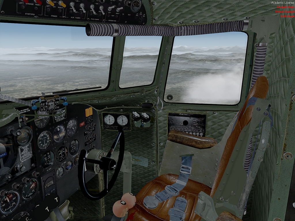
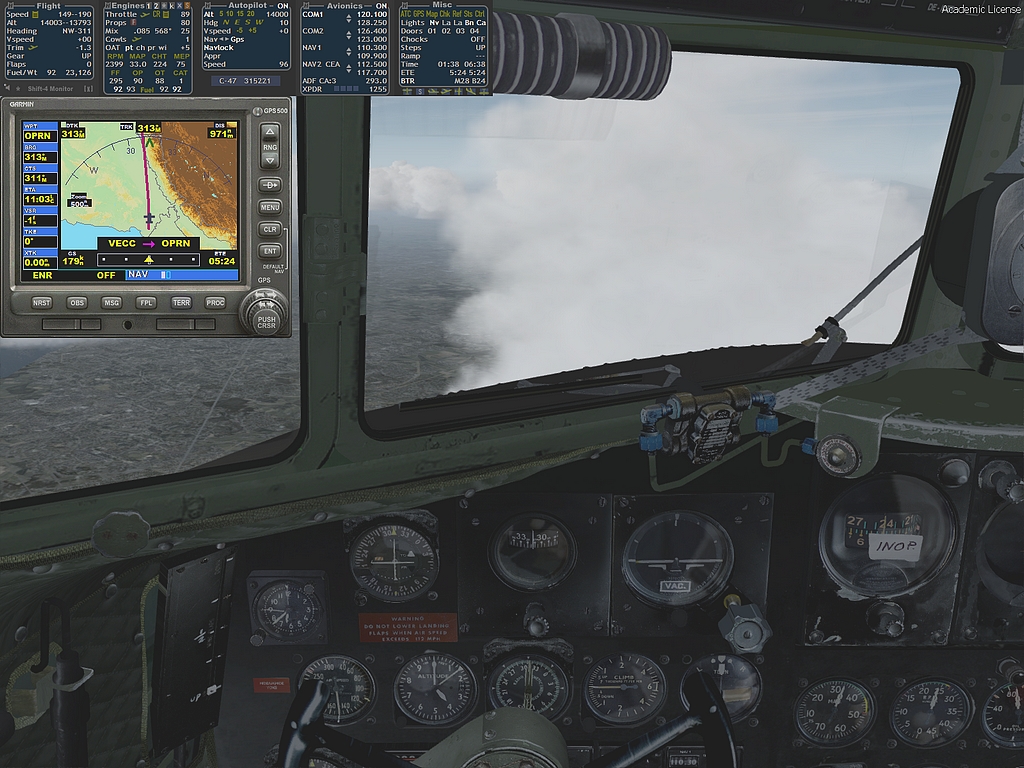
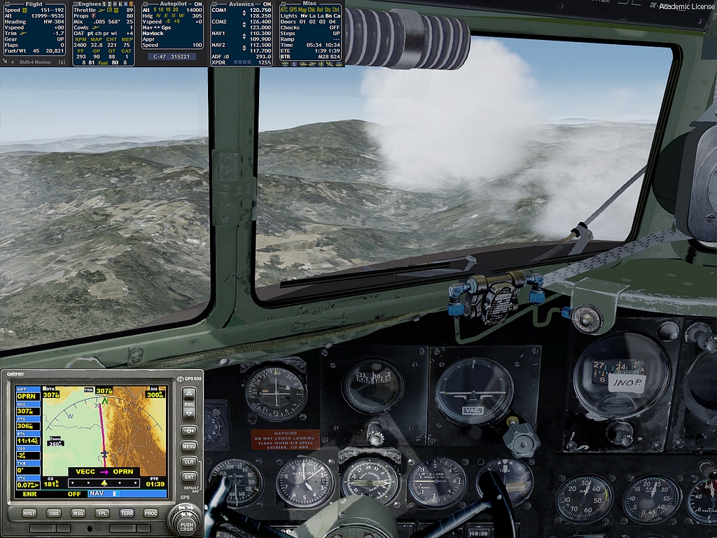
And even one from the inside.
We are going to cross over the low foothills soon and it could be a bit turbulent.
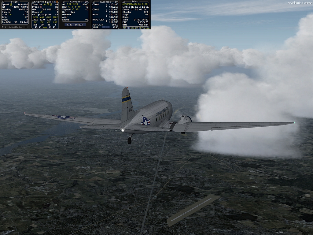
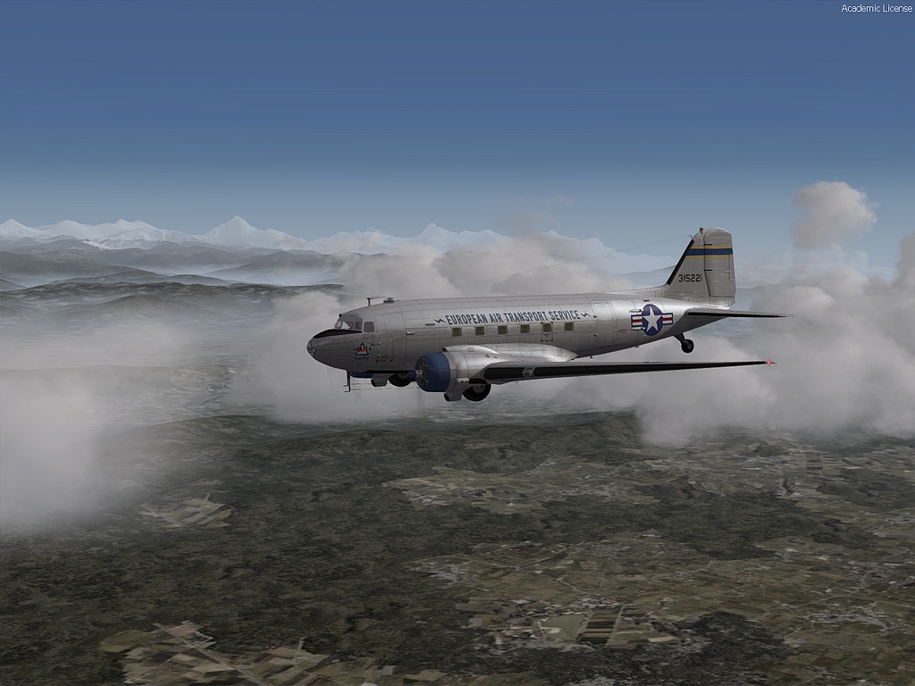
Another from outside but they are not quite so dramatic now.
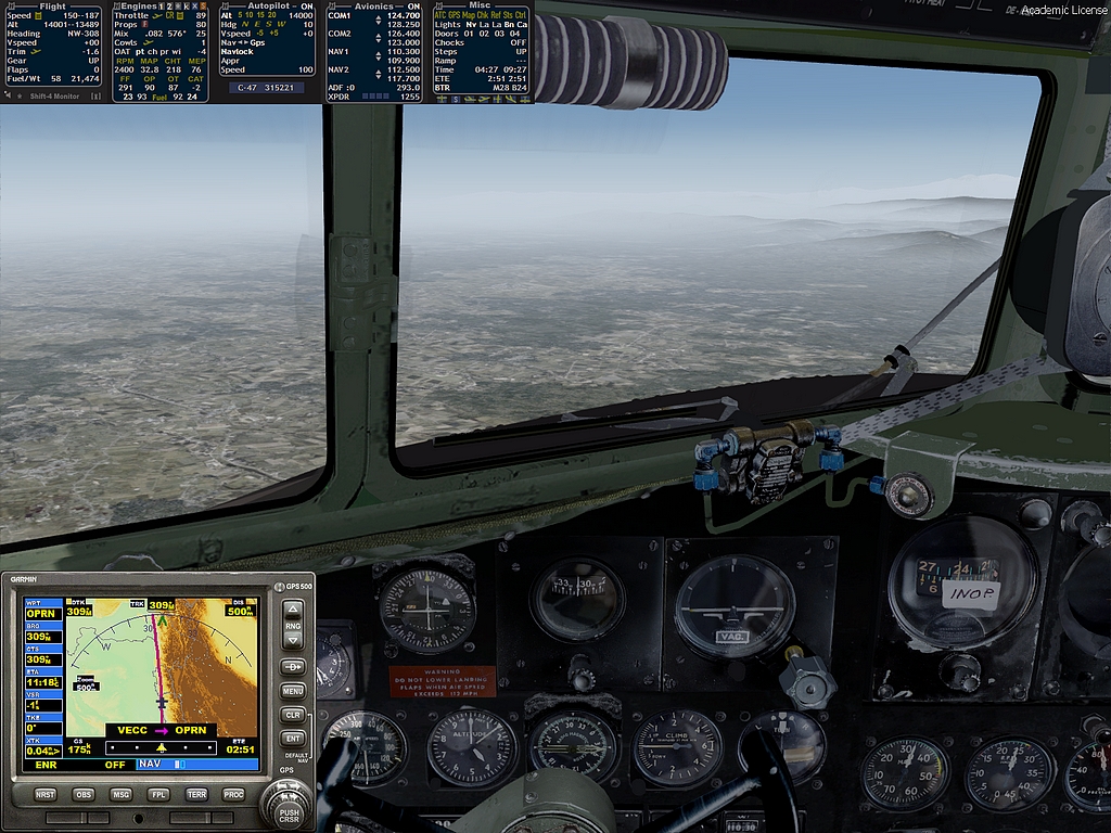
Well, 500 nms to go now so about halfway...I am watching the fuel moving towards 50% so I'll do my usual tank switching at that point and work out our range.
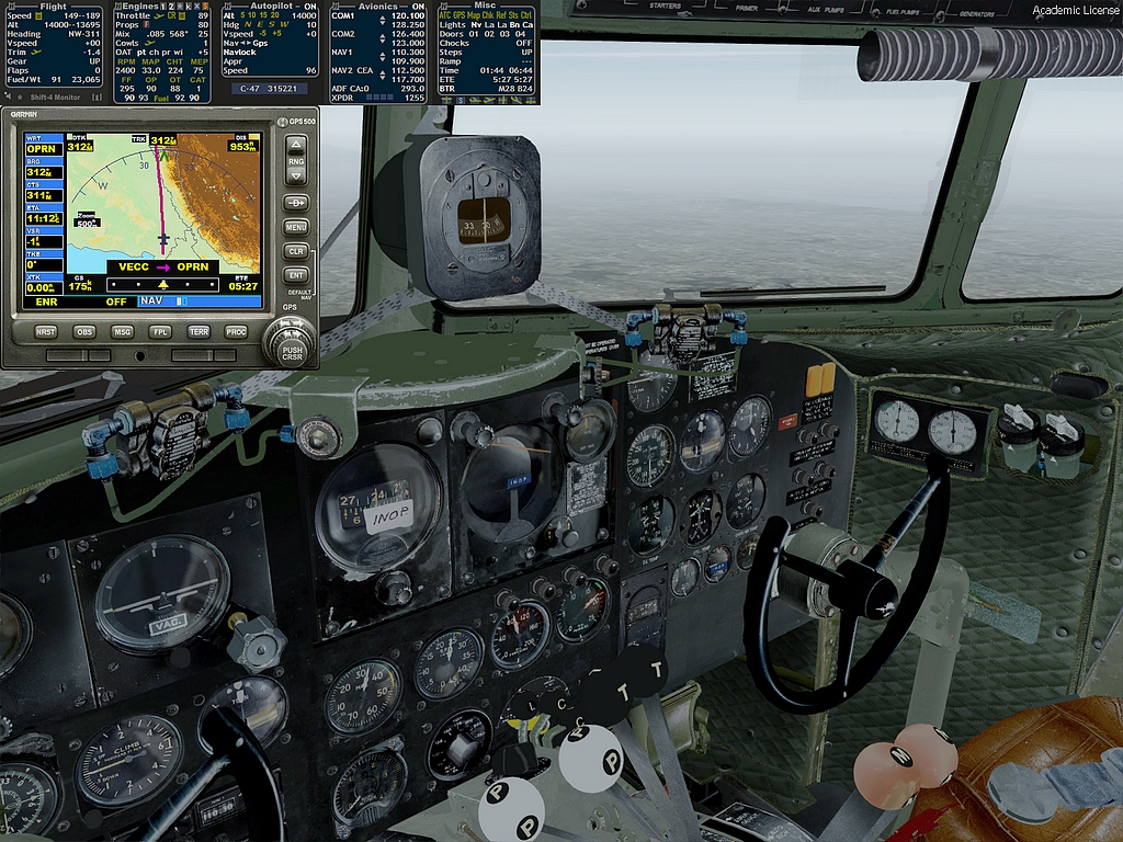
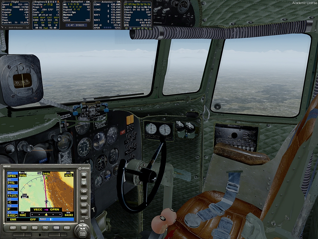
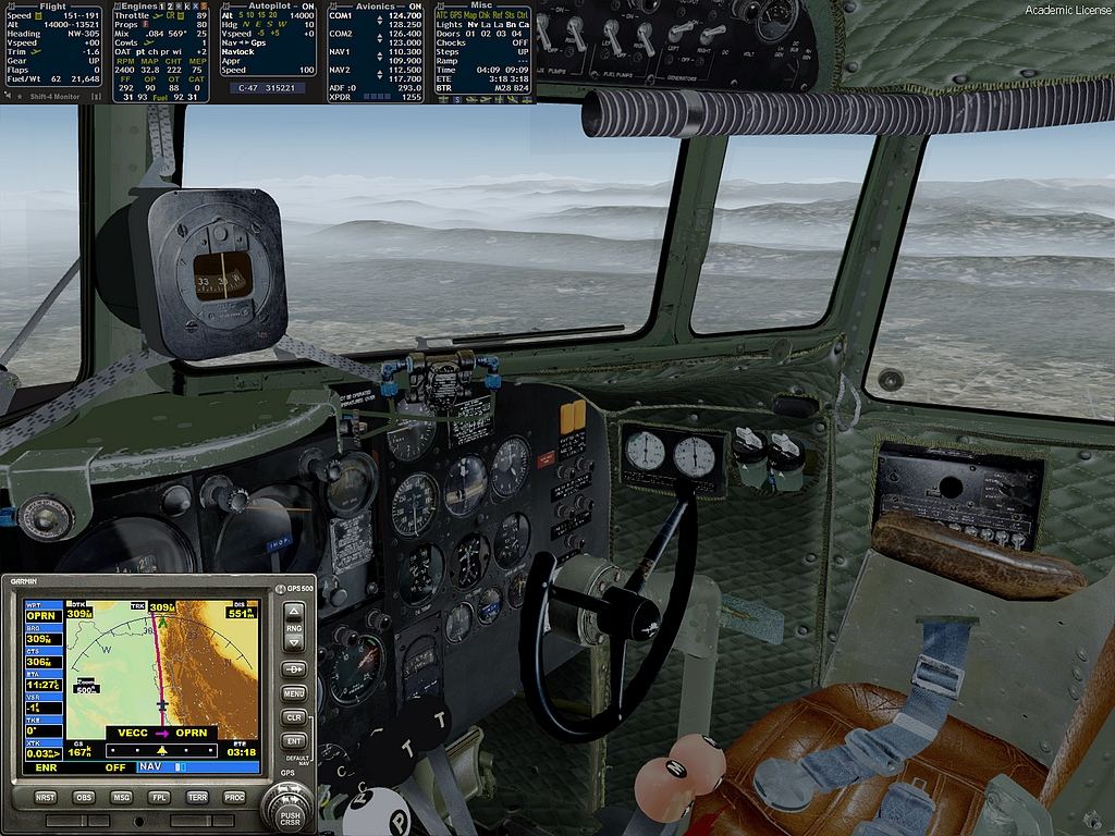
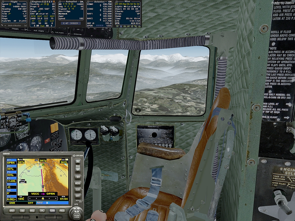
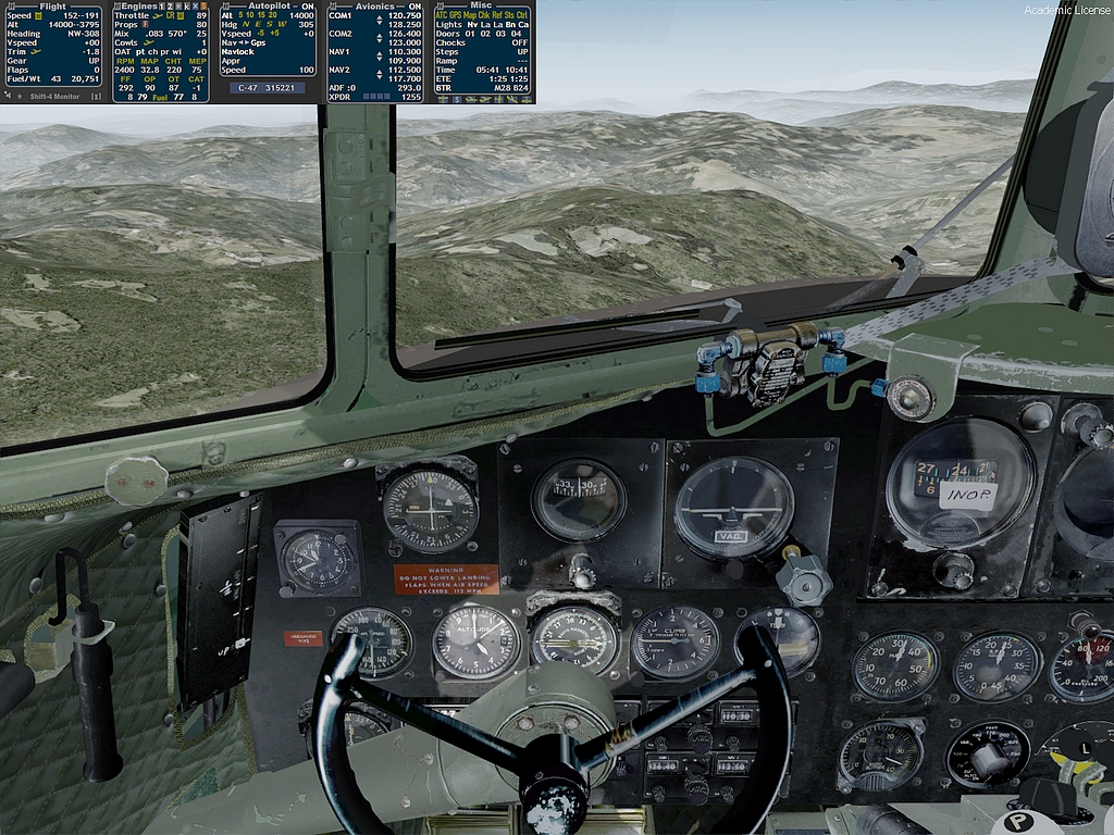
I'm watching it...we are down to 52% now...You can see the bottom line of the first panel on the "Strip"...It gives the current fuel% (52) and weight of the aircraft (21,199 lbs)...BTW look at that little beam of sunlight on the instrument panel...You can watch it gradually move in later shots
Just another pretty picture from outside...
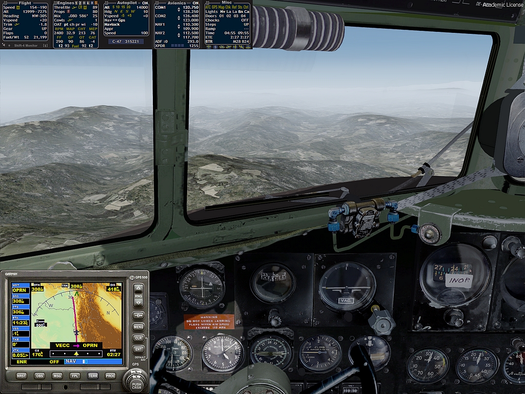
...and from inside...You can see in this one that I have switched the feed back to the Mains and the the fuel is down to 49%...I did the sums as follows...Fuel @ 50% with 390nms to go...Total distance for this leg is 1045nms... so 1045-390=655nms done on half the fuel so we would be empty at 655 times 2=1310nms...Would be a bit further than that because of descending and lower power settings than on the climb.
We are flying over some hills now...
...and the Flightplanner took these into account when it gave us our 14000 feet cruise altitude.
That hill ahead is probably the highest we will fly over...In the top left corner on the "Strip" panel...Second down marked "Alt" you will see two Altitudes. the first is pressure altitude from our altimeter (13,999) and the second is our radar altitude (9,535) above the ground beneath us.
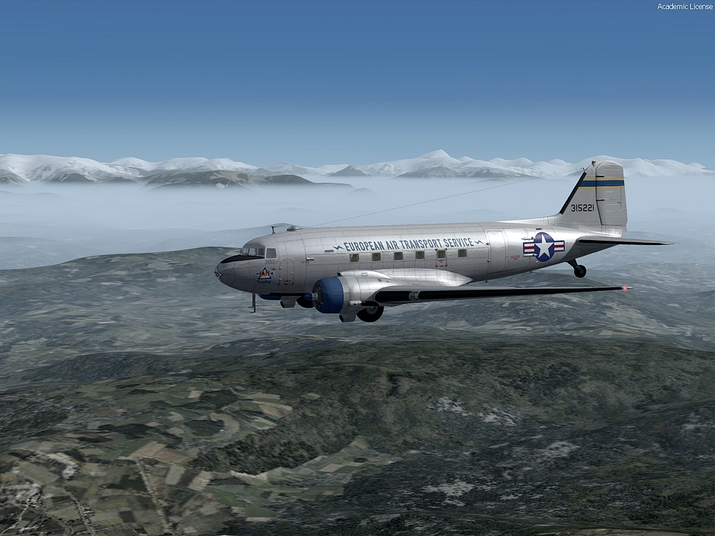
Another pretty picture.
Here we are passing over that peak that was ahead of us and it is 3795 feet below us.
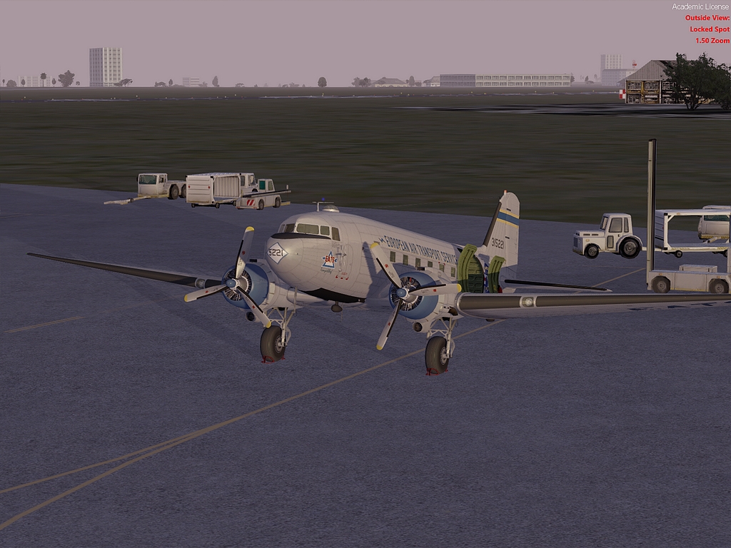
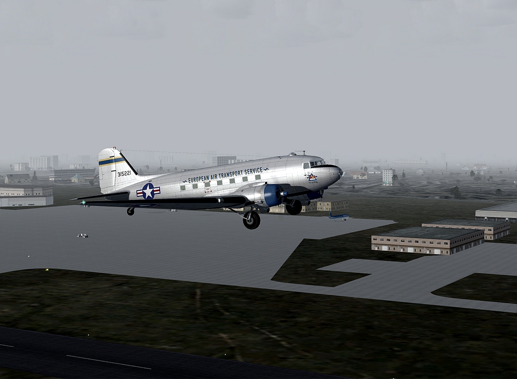
Well I was too busy to take pictures, trying to sort out an ILS joining procedure down in the murk...I cocked it up the first time and was rescued by radar control turning me back for another go...I then made another bit of a horlicks of it after I had switched to Tower...Had to sort out this last join without help. I was really to slow, too far out but it was a very good steady ILS on beam and glideslope all the way through the murk with the runway appearing dead ahead...Sorry about no pictures but here I am parked at Islamabad...Next stop Tehran.
All the pics look better clicked up in size...and then you can read the gauges that I talk about