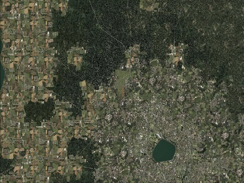
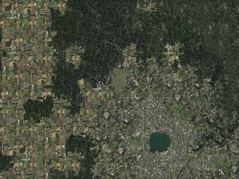
Recently bought the above bundle for about $80AU. Unlike some, I mainly fly out of small local airfields. I have until now, been frustrated by the inaccuracies in roads etc which are very helpful in VFR.
This is my very first attempt at photo upload, so with any luck you'll see the before and after comparison. Whilst the textures are unchanged, the VFR detail and correct elevations are apparently all there. I have no idea of the complexities involved in using Google Earth images for texture. The buyer also gets a patch for FSX, so naturally I'm using it there too.
photobucket.com/BallaratFS9
Well, looks like that was a flop! I'll try using the img thing.....
OK I surrender! Any assistance in non-geek language would be appreciated.