Page 1 of 1
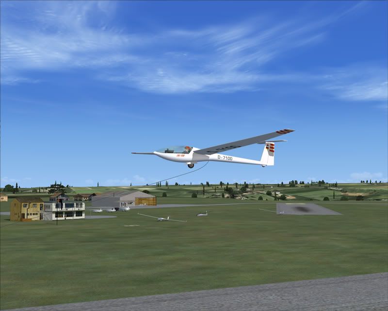
Can anyone identify the airfield at ...
Posted: 10 Jan 2013, 17:17
by GHD
N51.7064407066043, W2.13180166301625 ?
Re: Can anyone identify the airfield at ...
Posted: 10 Jan 2013, 17:31
by Garry Russell
Former RAF Aston Down??
Re: Can anyone identify the airfield at ...
Posted: 10 Jan 2013, 17:43
by VC10
I'd go with Aston Down
Paul
Re: Can anyone identify the airfield at ...
Posted: 10 Jan 2013, 17:51
by NigelC
Yup, Aston Down/Minchinhampton, home of the Cotswold Gliding Club
N
Re: Can anyone identify the airfield at ...
Posted: 10 Jan 2013, 18:50
by GHD
Thanks guys

Re: Can anyone identify the airfield at ...
Posted: 12 Jan 2013, 10:03
by Airspeed
Not having the knowledge of the 2 respondents, I copied and pasted the co-ords into Google Earth.
It not only took me straight there, but when you zoom in on one of the buildings, it puts up:
D Type Hangars, Aston Down Airfield, Gloucestershire
Aston Down Aerodrome, Aston Down, Stroud, Gloucestershire GL6, UK (Address is approximate)
Nearby places See more »
Aston Down
La Hacienda
Hangar 27/Aston Down Airfield/Cowcombe La
Square Deals On Wheels
Farm Bungalow/Cowcombe La
Grass Strip Aviation Ltd
The Water Tower/Aston Down Airfield
And if that wasn't stunning enough, it even offered various views dating back to 1945.
I be 'mazed!
Re: Can anyone identify the airfield at ...
Posted: 12 Jan 2013, 12:13
by Garry Russell
You can also use street view to look at it from ground level
Re: Can anyone identify the airfield at ...
Posted: 12 Jan 2013, 19:13
by Jon.M
There's good scenery for Aston Down available here:
http://shepsshed.com/bits.htm In both FS9 and FSX flavours.
I flew in gliders there a couple of times in the late seventies but couldn't afford to keep it up.
Jon