NZ North Island Tour - Auckland to Whangaruru Harb
Posted: 13 Feb 2013, 13:36
I continued my tour in this ORBX scenery yesterday and here are a set of pictures:-
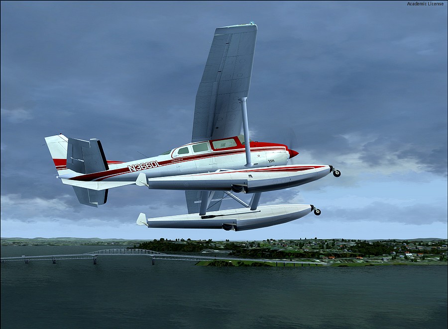
Turning onto course. That is the Kotanga Bridge on my left.
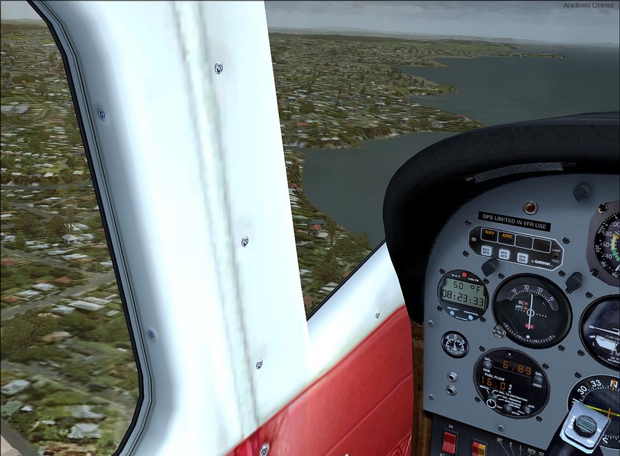
I'm going to map read up the coast using an old road map that I used years ago.
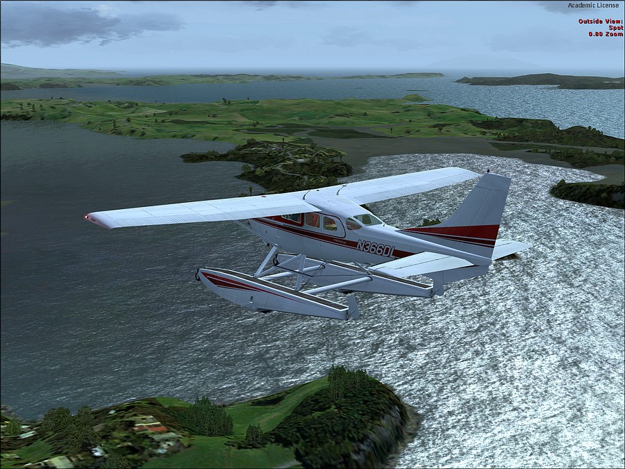
This might be near Warkworth.
The other pictures can be seen here:-
http://forum.mutleyshangar.com/index.ph ... u-harbour/
Thanks for looking
Turning onto course. That is the Kotanga Bridge on my left.
I'm going to map read up the coast using an old road map that I used years ago.
This might be near Warkworth.
The other pictures can be seen here:-
http://forum.mutleyshangar.com/index.ph ... u-harbour/
Thanks for looking