Specifically
Good clear shots of both approaches
The Hangar and associated buildings
And one thing thats been puzzling me - on Pooleys airport diagram - it appears the taxiway that goes from infront of
the hangar to the smaller apron area goes on to become the access road - Im also assuming from what you said
the smaller area with Portacabin and glider trailer is actually used by SAR as a helipad????
Leif
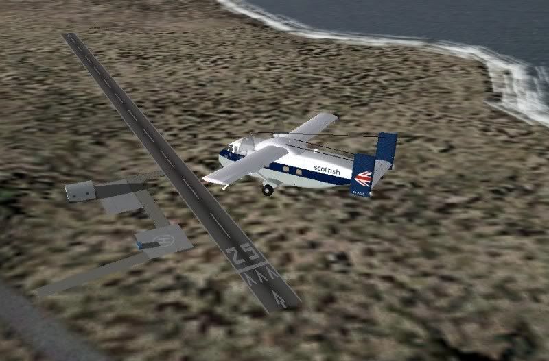
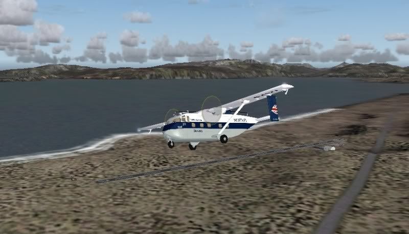
The approach shots are so I can judge that I have the runway located correctly againts the exisiting scenery rather than just
hope for the best with FS9s rather odd lat/lon settings
Thanks a million to both of you - hopefully I can produce something that will be a worthy addition
CHEERS