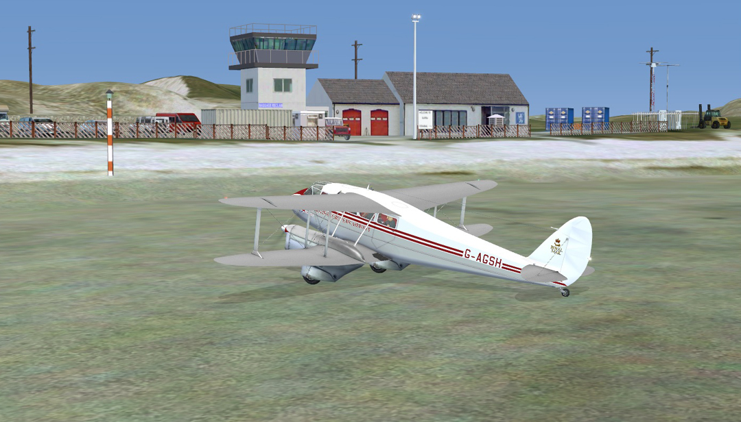
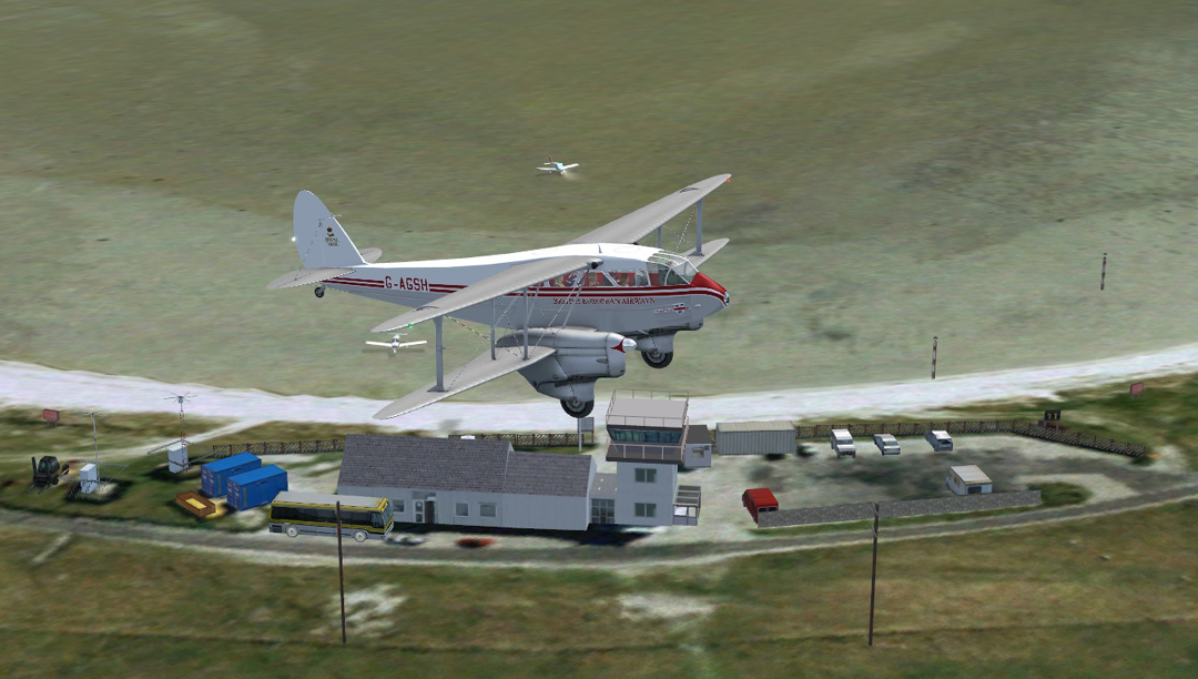
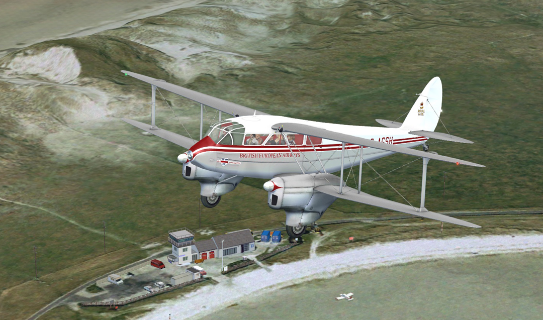
I used Lat/ & Long from the official site. When I drew up the runways using co-ordinates, I thought at first I had blundered, as I'd read that they were set out in a triangle, whereas mine fanned out from almost a common point. The author must have failed trigonometry. I've since seen a sign for visitors showing the layout, which matches mine.
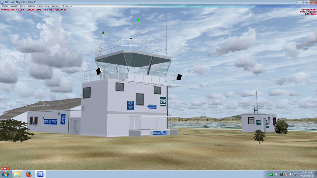
I've based my work on images off the net. From what I've collected, it's evident that minor changes have occurred over time. Different floodlights have appeared in various spots on the railings, and signs have moved. It won't be perfect, because (a) it's being done by me (b) I don't have dates for all the photos. What I can say is that my model is a bit closer to the photos of the real thing than the structure in the Western Isles payware. It may all prove too much for me, especially if ADE won't let me make my airport on top of the sea. Anyway, here's an angle I haven't already posted: